WA WATCH
· just now
Back to Live Map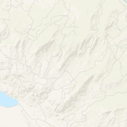
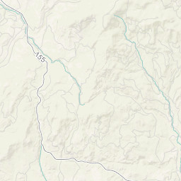
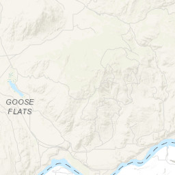
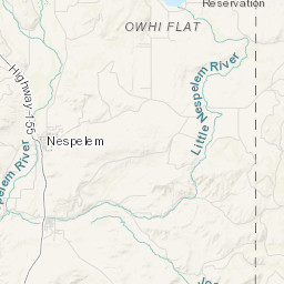
WildfireOUTInc# 260057· okanogan Co.
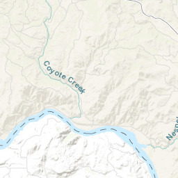
Coyote Creek Gravelpit
Colville Agency · 17d ago
Acres
0.10
Fuels
Slash / Blowdown
Location
—
Reported
May 6, 2026, 15:56
Leaflet Tiles © Esri
Operational Status
ContainedMay 6, 2026, 17:49
ControlledMay 7, 2026, 16:28
OutMay 8, 2026, 08:48
Coordinates
48.22992°, -119.12267°
Nearest Wildfire Cameras
View All →Omak Mountain
WA DNR / Pano · 22.1 mi
48.435, -119.491
Republic Mountain
WA DNR / Pano · 33.8 mi
48.647, -118.737
Tonasket Ridge
WA DNR / Pano · 35.9 mi
48.705, -119.438
Conconully Heights
WA DNR / Pano · 36.7 mi
48.561, -119.748
Click to open in WA DNR Wildfire Watch viewer (external).
Field Updates · Operations Log
0 entries
No field updates yet. Be the first to post one.