WA WATCH
· just now
Back to Live Map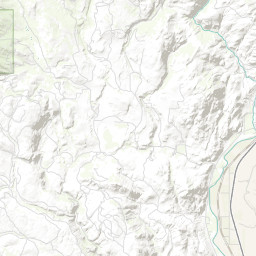
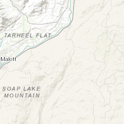
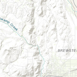
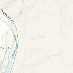
WildfireOUTInc# 260059· okanogan Co.
Malott
Colville Agency · 11d ago
Acres
10
Fuels
grass, shrub
Location
—
Reported
May 12, 2026, 13:05
Leaflet Tiles © Esri
Operational Status
ContainedMay 12, 2026, 15:36
ControlledMay 12, 2026, 15:36
OutMay 13, 2026, 11:05
Coordinates
48.24136°, -119.72172°
Nearest Wildfire Cameras
View All →Omak Mountain
WA DNR / Pano · 17.1 mi
48.435, -119.491
Twisp River
WA DNR / Pano · 19.7 mi
48.350, -120.118
Conconully Heights
WA DNR / Pano · 22.1 mi
48.561, -119.748
Chelan Butte
WA DNR / Pano · 32.6 mi
47.830, -120.068
Click to open in WA DNR Wildfire Watch viewer (external).
Field Updates · Operations Log
0 entries
No field updates yet. Be the first to post one.