
WA WATCH
· 2m ago
Back to Live Map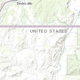
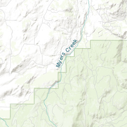
Smoke CheckACTIVEInc# 1223· okanogan Co.
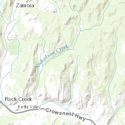
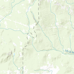
LOC nicholson creek
Northeast Washington (Colville) · 10d ago
Acres
—
Fuels
—
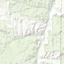
Location
OKANOGAN COUNTY - NF 3575 ROAD, T40 R31 S7
Reported
May 13, 2026, 11:55
Leaflet Tiles © Esri
Operational Status
ContainedPending
ControlledPending
OutPending
Coordinates
48.98180°, -118.95644°
Nearest Wildfire Cameras
View All →Curlew Lake
WA DNR / Pano · 21.7 mi
48.737, -118.658
Republic Mountain
WA DNR / Pano · 25.2 mi
48.647, -118.737
Tonasket Ridge
WA DNR / Pano · 29.1 mi
48.705, -119.438
Loomis Mountain
WA DNR / Pano · 30.9 mi
48.782, -119.565
Click to open in WA DNR Wildfire Watch viewer (external).
Dispatch Comment
UNABLE TO LOCATE - LEAVE OPEN
Field Updates · Operations Log
0 entries
No field updates yet. Be the first to post one.