WA WATCH
· 2m ago
Back to Live Map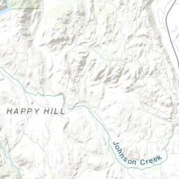
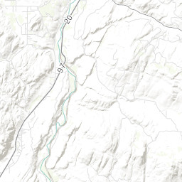
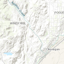
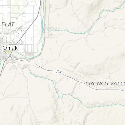
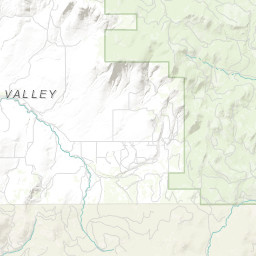
WildfireOUTInc# 1226· okanogan Co.
HUBBARD
Northeast Washington (Colville) · 9d ago
Acres
2.3
Fuels
GRASS/SHRUB
Location
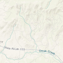
OKANOGAN COUNTY - 74 HUBBARD RD, T35 R26 S14
Reported
May 14, 2026, 15:24
Leaflet Tiles © Esri
Operational Status
ContainedMay 14, 2026, 17:00
ControlledMay 14, 2026, 18:00
OutMay 22, 2026, 10:15
Incident Commander
NEFF, TYLER
Coordinates
48.52945°, -119.52142°
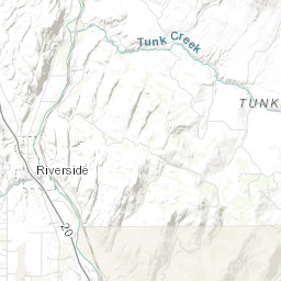
Nearest Wildfire Cameras
View All →Omak Mountain
WA DNR / Pano · 6.7 mi
48.435, -119.491
Conconully Heights
WA DNR / Pano · 10.6 mi
48.561, -119.748
Tonasket Ridge
WA DNR / Pano · 12.7 mi
48.705, -119.438
Loomis Mountain
WA DNR / Pano · 17.6 mi
48.782, -119.565
Click to open in WA DNR Wildfire Watch viewer (external).
Field Updates · Operations Log
0 entries
No field updates yet. Be the first to post one.